
Easier access to scientific data

Brought to you by NOAA CoastWatch Great Lakes Node
|
ERDDAP
Easier access to scientific data |
|
Brought to you by NOAA CoastWatch Great Lakes Node |
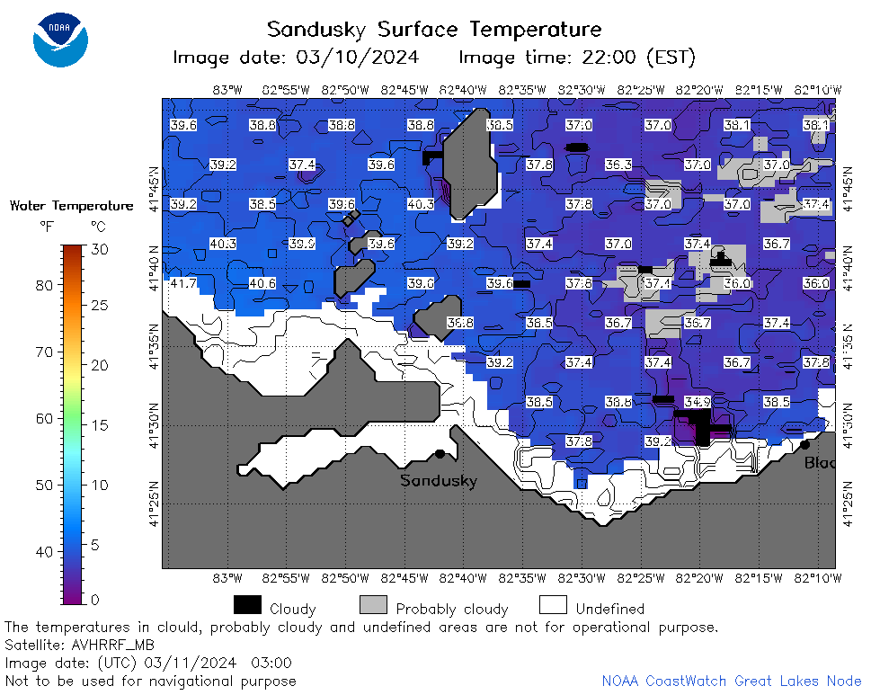
| Dataset Title: | Lake Erie Sandusky Surface Temperature Contour Map (2022-present)


|
| Institution: | CoastWatch Great Lakes Node (Dataset ID: LE_NRT_TC_e12) |
| Information: | Summary
| License
| Metadata
| Background | Subset
| Data Access Form
| Make a graph
| Subset
| Data Access Form
| Make a graph
|
![[ICO]](https://apps.glerl.noaa.gov/erddap/images/fileIcons/blank.gif) | Name | Last modified | Size | Description |
|---|---|---|---|---|
![[DIR]](https://apps.glerl.noaa.gov/erddap/images/fileIcons/back.gif) | Parent Directory | - | - | |
![[IMG]](https://apps.glerl.noaa.gov/erddap/images/fileIcons/image2.gif)  | e12_2024_03_11_0120.png | 11-Mar-2024 07:30 | 37113 | |
 | e12_2024_03_11_0130.png | 11-Mar-2024 07:33 | 18903 | |
 | e12_2024_03_11_0220.png | 11-Mar-2024 07:35 | 38271 | |
 | e12_2024_03_11_0300.png | 11-Mar-2024 07:38 | 42410 | |
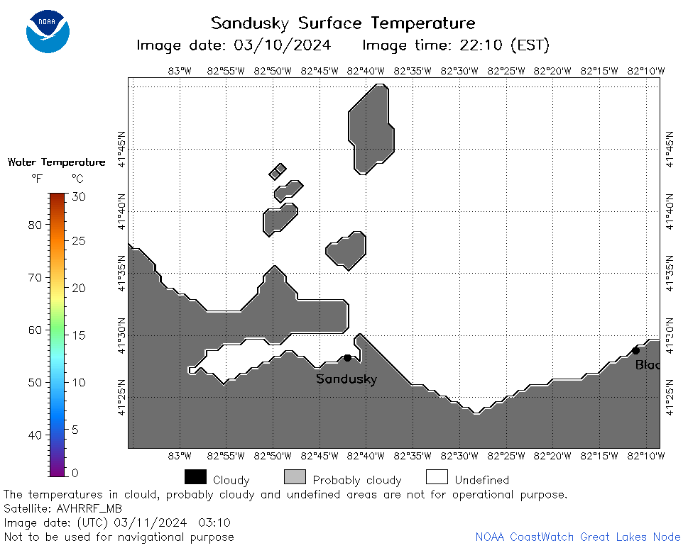 | e12_2024_03_11_0310.png | 11-Mar-2024 07:40 | 18864 | |
 | e12_2024_03_11_0630.png | 12-Mar-2024 00:27 | 39183 | |
 | e12_2024_03_11_1430.png | 12-Mar-2024 00:29 | 28473 | |
 | e12_2024_03_11_1520.png | 12-Mar-2024 00:32 | 31619 | |
 | e12_2024_03_11_1610.png | 12-Mar-2024 00:34 | 34841 | |
 | e12_2024_03_11_1700.png | 12-Mar-2024 00:36 | 18175 | |
 | e12_2024_071.png | 12-Mar-2024 11:30 | 27970 | |