
Easier access to scientific data

Brought to you by NOAA CoastWatch Great Lakes Node
|
ERDDAP
Easier access to scientific data |
|
Brought to you by NOAA CoastWatch Great Lakes Node |
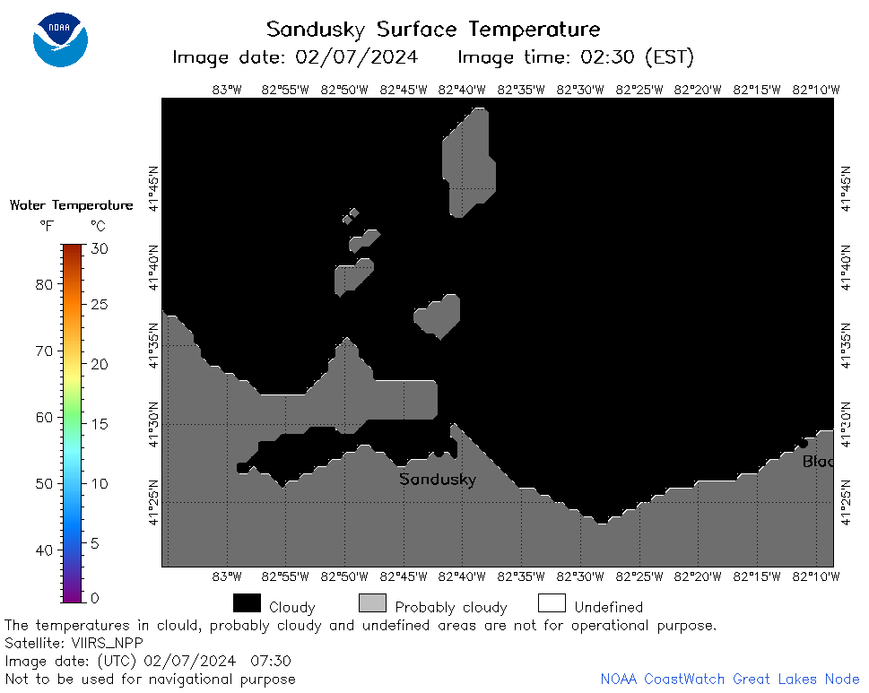
| Dataset Title: | Lake Erie Sandusky Surface Temperature Contour Map (2022-present)


|
| Institution: | CoastWatch Great Lakes Node (Dataset ID: LE_NRT_TC_e12) |
| Information: | Summary
| License
| Metadata
| Background | Subset
| Data Access Form
| Make a graph
| Subset
| Data Access Form
| Make a graph
|
![[ICO]](https://apps.glerl.noaa.gov/erddap/images/fileIcons/blank.gif) | Name | Last modified | Size | Description |
|---|---|---|---|---|
![[DIR]](https://apps.glerl.noaa.gov/erddap/images/fileIcons/back.gif) | Parent Directory | - | - | |
![[IMG]](https://apps.glerl.noaa.gov/erddap/images/fileIcons/image2.gif)  | e12_2024_02_07_0110.png | 07-Feb-2024 17:48 | 24684 | |
 | e12_2024_02_07_0200.png | 07-Feb-2024 17:55 | 30826 | |
 | e12_2024_02_07_0250.png | 07-Feb-2024 18:01 | 32271 | |
 | e12_2024_02_07_0340.png | 07-Feb-2024 18:08 | 18901 | |
 | e12_2024_02_07_0600.png | 07-Feb-2024 18:14 | 18167 | |
 | e12_2024_02_07_0730.png | 07-Feb-2024 18:20 | 18156 | |
 | e12_2024_02_07_0740.png | 07-Feb-2024 18:26 | 20529 | |
 | e12_2024_02_07_0920.png | 07-Feb-2024 18:38 | 18179 | |
 | e12_2024_02_07_1410.png | 07-Feb-2024 18:44 | 18159 | |
 | e12_2024_02_07_1420.png | 07-Feb-2024 18:50 | 20460 | |
 | e12_2024_02_07_1500.png | 07-Feb-2024 18:57 | 20537 | |
 | e12_2024_02_07_1550.png | 07-Feb-2024 20:39 | 18193 | |
 | e12_2024_02_07_1600.png | 07-Feb-2024 20:45 | 22823 | |
 | e12_2024_02_07_1640.png | 07-Feb-2024 20:51 | 18872 | |
 | e12_2024_02_07_1720.png | 07-Feb-2024 20:58 | 33890 | |
 | e12_2024_02_07_1900.png | 07-Feb-2024 21:04 | 34734 | |
 | e12_2024_038.png | 08-Feb-2024 11:07 | 31555 | |