
Easier access to scientific data

Brought to you by NOAA CoastWatch Great Lakes Node
|
ERDDAP
Easier access to scientific data |
|
Brought to you by NOAA CoastWatch Great Lakes Node |
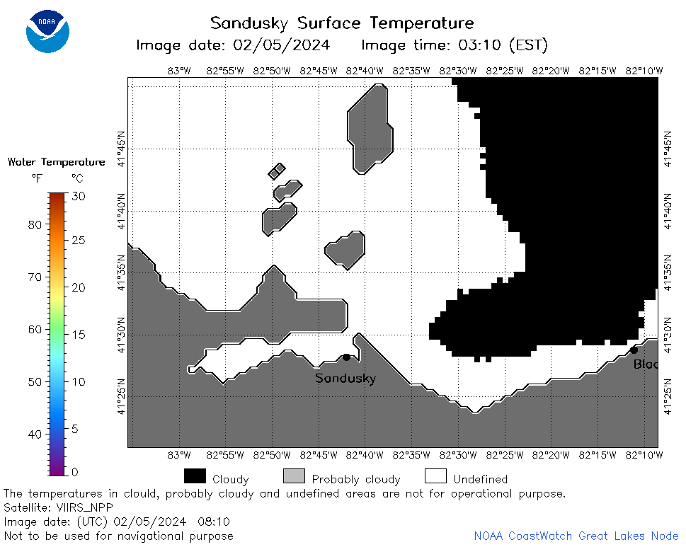
| Dataset Title: | Lake Erie Sandusky Surface Temperature Contour Map (2022-present)


|
| Institution: | CoastWatch Great Lakes Node (Dataset ID: LE_NRT_TC_e12) |
| Information: | Summary
| License
| Metadata
| Background | Subset
| Data Access Form
| Make a graph
| Subset
| Data Access Form
| Make a graph
|
![[ICO]](https://apps.glerl.noaa.gov/erddap/images/fileIcons/blank.gif) | Name | Last modified | Size | Description |
|---|---|---|---|---|
![[DIR]](https://apps.glerl.noaa.gov/erddap/images/fileIcons/back.gif) | Parent Directory | - | - | |
![[IMG]](https://apps.glerl.noaa.gov/erddap/images/fileIcons/image2.gif)  | e12_2024_02_05_0100.png | 05-Feb-2024 06:39 | 18206 | |
 | e12_2024_02_05_0150.png | 05-Feb-2024 06:46 | 29630 | |
 | e12_2024_02_05_0240.png | 05-Feb-2024 06:52 | 26920 | |
 | e12_2024_02_05_0330.png | 05-Feb-2024 06:58 | 20265 | |
 | e12_2024_02_05_0630.png | 05-Feb-2024 11:31 | 20618 | |
 | e12_2024_02_05_0810.png | 05-Feb-2024 13:32 | 20629 | |
 | e12_2024_02_05_0820.png | 05-Feb-2024 13:38 | 18873 | |
 | e12_2024_02_05_0900.png | 05-Feb-2024 13:44 | 18200 | |
 | e12_2024_02_05_1400.png | 05-Feb-2024 22:48 | 18174 | |
 | e12_2024_02_05_1500.png | 05-Feb-2024 22:54 | 20566 | |
 | e12_2024_02_05_1540.png | 05-Feb-2024 23:01 | 19779 | |
 | e12_2024_02_05_1550.png | 05-Feb-2024 23:07 | 19967 | |
 | e12_2024_02_05_1640.png | 05-Feb-2024 23:14 | 19012 | |
 | e12_2024_02_05_1720.png | 05-Feb-2024 23:20 | 18174 | |
 | e12_2024_02_05_1800.png | 05-Feb-2024 23:30 | 20638 | |
 | e12_2024_02_05_1940.png | 05-Feb-2024 23:38 | 18879 | |
 | e12_2024_036.png | 06-Feb-2024 11:08 | 31739 | |