
Easier access to scientific data

Brought to you by NOAA CoastWatch Great Lakes Node
|
ERDDAP
Easier access to scientific data |
|
Brought to you by NOAA CoastWatch Great Lakes Node |
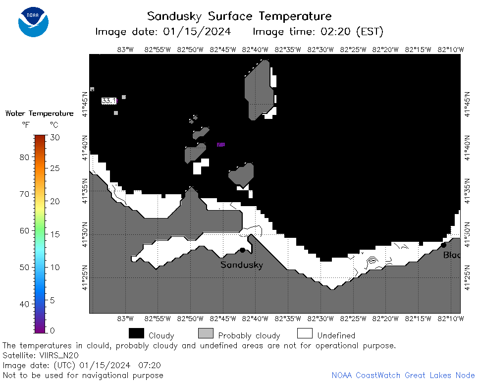
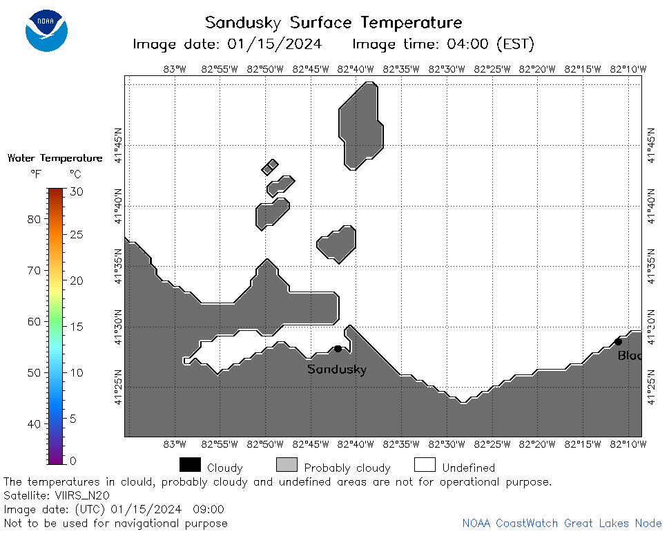
| Dataset Title: | Lake Erie Sandusky Surface Temperature Contour Map (2022-present)


|
| Institution: | CoastWatch Great Lakes Node (Dataset ID: LE_NRT_TC_e12) |
| Information: | Summary
| License
| Metadata
| Background | Subset
| Data Access Form
| Make a graph
| Subset
| Data Access Form
| Make a graph
|
![[ICO]](https://apps.glerl.noaa.gov/erddap/images/fileIcons/blank.gif) | Name | Last modified | Size | Description |
|---|---|---|---|---|
![[DIR]](https://apps.glerl.noaa.gov/erddap/images/fileIcons/back.gif) | Parent Directory | - | - | |
![[IMG]](https://apps.glerl.noaa.gov/erddap/images/fileIcons/image2.gif) 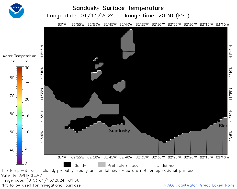 | e12_2024_01_15_0130.png | 15-Jan-2024 06:39 | 18203 | |
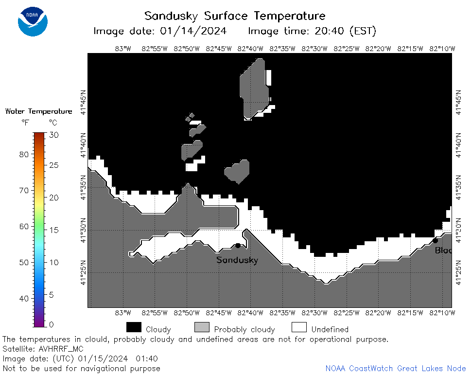 | e12_2024_01_15_0140.png | 15-Jan-2024 06:45 | 19796 | |
 | e12_2024_01_15_0220.png | 15-Jan-2024 06:51 | 20848 | |
 | e12_2024_01_15_0320.png | 15-Jan-2024 06:58 | 19690 | |
 | e12_2024_01_15_0630.png | 15-Jan-2024 10:34 | 19602 | |
 | e12_2024_01_15_0720.png | 15-Jan-2024 10:41 | 20195 | |
 | e12_2024_01_15_0810.png | 15-Jan-2024 12:34 | 19709 | |
 | e12_2024_01_15_0900.png | 15-Jan-2024 12:41 | 18889 | |
 | e12_2024_01_15_0950.png | 15-Jan-2024 14:31 | 18200 | |
 | e12_2024_01_15_1440.png | 15-Jan-2024 17:32 | 19681 | |
 | e12_2024_01_15_1530.png | 15-Jan-2024 19:36 | 19733 | |
 | e12_2024_01_15_1620.png | 15-Jan-2024 19:43 | 19750 | |
 | e12_2024_01_15_1700.png | 15-Jan-2024 19:49 | 19213 | |
 | e12_2024_01_15_1710.png | 15-Jan-2024 20:32 | 18164 | |
 | e12_2024_01_15_1750.png | 15-Jan-2024 19:56 | 19723 | |
 | e12_2024_01_15_1840.png | 15-Jan-2024 20:38 | 19665 | |
 | e12_2024_01_15_1930.png | 15-Jan-2024 21:34 | 19726 | |