
Easier access to scientific data

Brought to you by NOAA CoastWatch Great Lakes Node
|
ERDDAP
Easier access to scientific data |
|
Brought to you by NOAA CoastWatch Great Lakes Node |
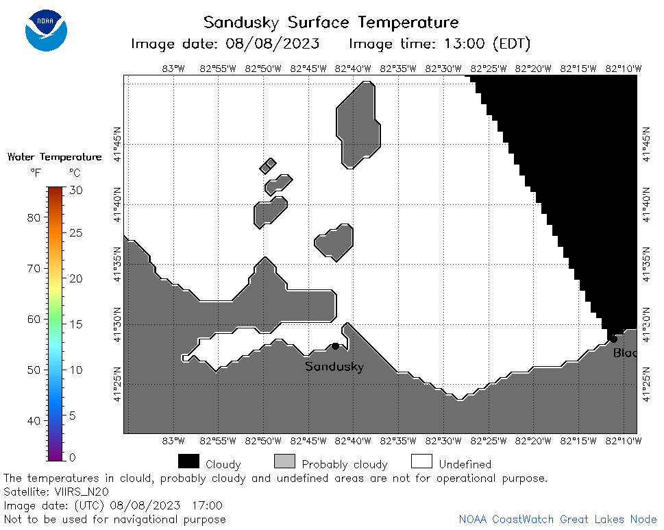
| Dataset Title: | Lake Erie Sandusky Surface Temperature Contour Map (2022-present)


|
| Institution: | CoastWatch Great Lakes Node (Dataset ID: LE_NRT_TC_e12) |
| Information: | Summary
| License
| Metadata
| Background | Subset
| Data Access Form
| Make a graph
| Subset
| Data Access Form
| Make a graph
|
![[ICO]](https://apps.glerl.noaa.gov/erddap/images/fileIcons/blank.gif) | Name | Last modified | Size | Description |
|---|---|---|---|---|
![[DIR]](https://apps.glerl.noaa.gov/erddap/images/fileIcons/back.gif) | Parent Directory | - | - | |
![[IMG]](https://apps.glerl.noaa.gov/erddap/images/fileIcons/image2.gif)  | e12_2023_08_08_0630.png | 08-Aug-2023 10:34 | 34644 | |
 | e12_2023_08_08_0720.png | 08-Aug-2023 10:40 | 33692 | |
 | e12_2023_08_08_0810.png | 08-Aug-2023 11:31 | 32426 | |
 | e12_2023_08_08_0900.png | 08-Aug-2023 10:47 | 18899 | |
 | e12_2023_08_08_0950.png | 08-Aug-2023 12:31 | 18191 | |
 | e12_2023_08_08_1400.png | 08-Aug-2023 23:38 | 18203 | |
 | e12_2023_08_08_1450.png | 08-Aug-2023 20:36 | 21436 | |
 | e12_2023_08_08_1540.png | 08-Aug-2023 20:43 | 28263 | |
 | e12_2023_08_08_1630.png | 08-Aug-2023 20:49 | 27718 | |
 | e12_2023_08_08_1700.png | 08-Aug-2023 23:44 | 19960 | |
 | e12_2023_08_08_1720.png | 08-Aug-2023 20:56 | 18187 | |
 | e12_2023_08_08_1750.png | 08-Aug-2023 23:51 | 23825 | |
 | e12_2023_08_08_1840.png | 08-Aug-2023 23:58 | 32900 | |
 | e12_2023_08_08_1930.png | 09-Aug-2023 00:04 | 25692 | |
 | e12_2023_08_08_1940.png | 09-Aug-2023 00:11 | 18195 | |
 | e12_2023_220.png | 09-Aug-2023 10:08 | 26911 | |