
Easier access to scientific data

Brought to you by NOAA CoastWatch Great Lakes Node
|
ERDDAP
Easier access to scientific data |
|
Brought to you by NOAA CoastWatch Great Lakes Node |
| Dataset Title: | Lake Erie Sandusky Surface Temperature Contour Map (2022-present)


|
| Institution: | CoastWatch Great Lakes Node (Dataset ID: LE_NRT_TC_e12) |
| Information: | Summary
| License
| Metadata
| Background | Subset
| Data Access Form
| Make a graph
| Subset
| Data Access Form
| Make a graph
|
![[ICO]](https://apps.glerl.noaa.gov/erddap/images/fileIcons/blank.gif) | Name | Last modified | Size | Description |
|---|---|---|---|---|
![[DIR]](https://apps.glerl.noaa.gov/erddap/images/fileIcons/back.gif) | Parent Directory | - | - | |
![[IMG]](https://apps.glerl.noaa.gov/erddap/images/fileIcons/image2.gif)  | e12_2023_08_07_0110.png | 07-Aug-2023 05:39 | 21129 | |
 | e12_2023_08_07_0120.png | 07-Aug-2023 05:45 | 18203 | |
 | e12_2023_08_07_0210.png | 07-Aug-2023 05:51 | 20532 | |
 | e12_2023_08_07_0250.png | 07-Aug-2023 05:57 | 19241 | |
 | e12_2023_08_07_0300.png | 07-Aug-2023 06:03 | 18198 | |
 | e12_2023_08_07_0350.png | 07-Aug-2023 06:10 | 18901 | |
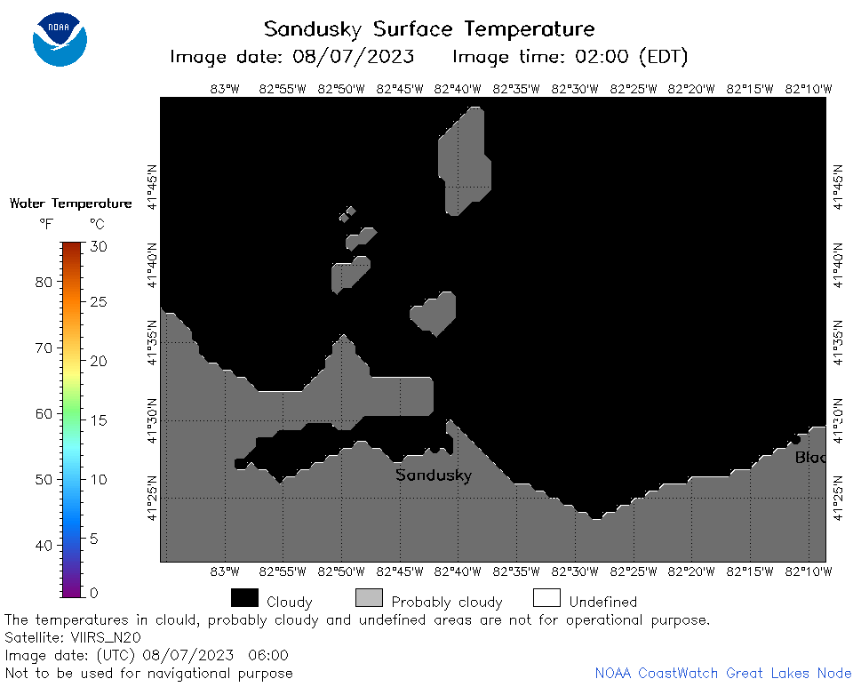 | e12_2023_08_07_0600.png | 07-Aug-2023 08:30 | 18206 | |
 | e12_2023_08_07_0650.png | 07-Aug-2023 10:31 | 19368 | |
 | e12_2023_08_07_0740.png | 07-Aug-2023 10:37 | 25465 | |
 | e12_2023_08_07_0830.png | 07-Aug-2023 11:31 | 23262 | |
 | e12_2023_08_07_0920.png | 07-Aug-2023 11:37 | 18204 | |
 | e12_2023_08_07_1420.png | 07-Aug-2023 18:33 | 18560 | |
 | e12_2023_08_07_1510.png | 07-Aug-2023 18:39 | 18738 | |
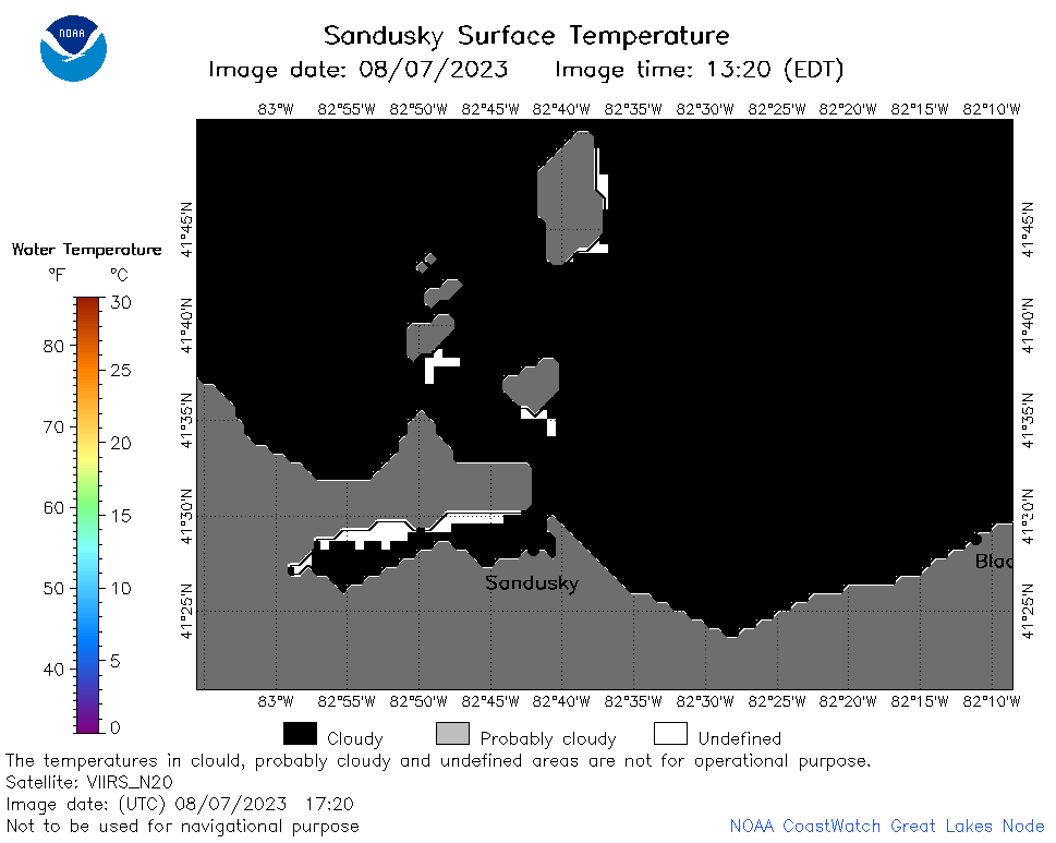 | e12_2023_08_07_1720.png | 07-Aug-2023 21:36 | 18739 | |
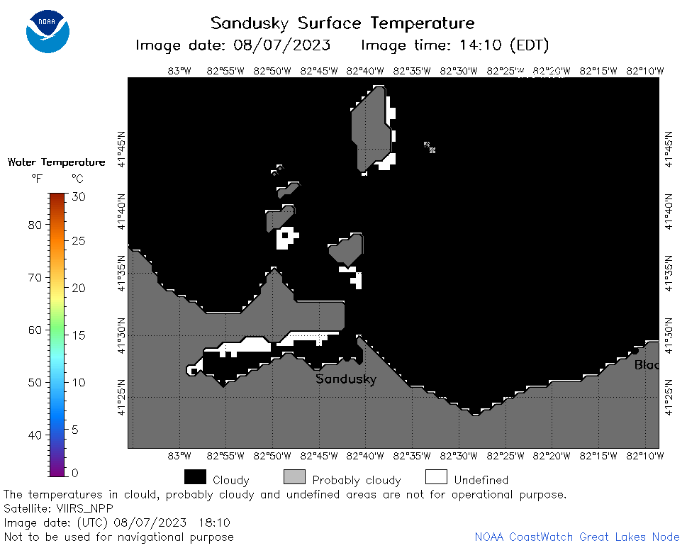 | e12_2023_08_07_1810.png | 07-Aug-2023 21:42 | 19109 | |
 | e12_2023_08_07_1900.png | 07-Aug-2023 21:49 | 18717 | |
 | e12_2023_08_07_1950.png | 07-Aug-2023 21:56 | 18899 | |
 | e12_2023_219.png | 08-Aug-2023 10:05 | 26897 | |