
Easier access to scientific data

Brought to you by NOAA CoastWatch Great Lakes Node
|
ERDDAP
Easier access to scientific data |
|
Brought to you by NOAA CoastWatch Great Lakes Node |
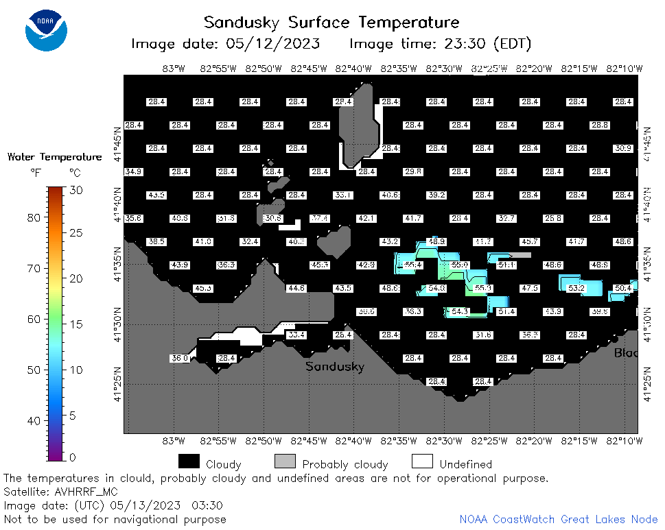
| Dataset Title: | Lake Erie Sandusky Surface Temperature Contour Map (2022-present)


|
| Institution: | CoastWatch Great Lakes Node (Dataset ID: LE_NRT_TC_e12) |
| Information: | Summary
| License
| Metadata
| Background | Subset
| Data Access Form
| Make a graph
| Subset
| Data Access Form
| Make a graph
|
![[ICO]](https://apps.glerl.noaa.gov/erddap/images/fileIcons/blank.gif) | Name | Last modified | Size | Description |
|---|---|---|---|---|
![[DIR]](https://apps.glerl.noaa.gov/erddap/images/fileIcons/back.gif) | Parent Directory | - | - | |
![[IMG]](https://apps.glerl.noaa.gov/erddap/images/fileIcons/image2.gif)  | e12_2023_05_13_0150.png | 13-May-2023 05:43 | 20562 | |
 | e12_2023_05_13_0230.png | 13-May-2023 05:49 | 21841 | |
 | e12_2023_05_13_0330.png | 13-May-2023 06:02 | 24085 | |
 | e12_2023_05_13_0610.png | 13-May-2023 09:30 | 21752 | |
 | e12_2023_05_13_0700.png | 13-May-2023 09:37 | 21514 | |
 | e12_2023_05_13_0750.png | 13-May-2023 09:44 | 20657 | |
 | e12_2023_05_13_0840.png | 13-May-2023 12:34 | 21245 | |
 | e12_2023_05_13_1450.png | 13-May-2023 18:39 | 20923 | |
 | e12_2023_05_13_1540.png | 13-May-2023 18:46 | 21501 | |
 | e12_2023_05_13_1630.png | 13-May-2023 18:53 | 20697 | |
 | e12_2023_05_13_1730.png | 13-May-2023 19:35 | 20649 | |
 | e12_2023_05_13_1820.png | 13-May-2023 20:38 | 20706 | |
 | e12_2023_05_13_1910.png | 13-May-2023 21:41 | 21231 | |
 | e12_2023_133.png | 14-May-2023 10:07 | 29365 | |