
Easier access to scientific data

Brought to you by NOAA CoastWatch Great Lakes Node
|
ERDDAP
Easier access to scientific data |
|
Brought to you by NOAA CoastWatch Great Lakes Node |
| Dataset Title: | Lake Erie Sandusky Surface Temperature Contour Map (2022-present)


|
| Institution: | CoastWatch Great Lakes Node (Dataset ID: LE_NRT_TC_e12) |
| Information: | Summary
| License
| Metadata
| Background | Subset
| Data Access Form
| Make a graph
| Subset
| Data Access Form
| Make a graph
|
![[ICO]](https://apps.glerl.noaa.gov/erddap/images/fileIcons/blank.gif) | Name | Last modified | Size | Description |
|---|---|---|---|---|
![[DIR]](https://apps.glerl.noaa.gov/erddap/images/fileIcons/back.gif) | Parent Directory | - | - | |
![[IMG]](https://apps.glerl.noaa.gov/erddap/images/fileIcons/image2.gif) 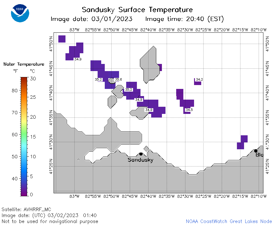 | e12_2023_03_02_0140.png | 02-Mar-2023 06:29 | 18221 | |
 | e12_2023_03_02_0220.png | 02-Mar-2023 06:32 | 17754 | |
 | e12_2023_03_02_0700.png | 02-Mar-2023 10:29 | 18125 | |
 | e12_2023_03_02_0750.png | 02-Mar-2023 10:32 | 26432 | |
 | e12_2023_03_02_0840.png | 02-Mar-2023 17:28 | 18515 | |
 | e12_2023_03_02_1440.png | 02-Mar-2023 17:31 | 19418 | |
 | e12_2023_061.png | 03-Mar-2023 11:09 | 28232 | |