
Easier access to scientific data

Brought to you by NOAA CoastWatch Great Lakes Node
|
ERDDAP
Easier access to scientific data |
|
Brought to you by NOAA CoastWatch Great Lakes Node |
| Dataset Title: | Lake Erie Western Region Surface Temperature Contour Map (2022-present)


|
| Institution: | CoastWatch Great Lakes Node (Dataset ID: LE_NRT_TC_e1) |
| Information: | Summary
| License
| Metadata
| Background | Subset
| Data Access Form
| Make a graph
| Subset
| Data Access Form
| Make a graph
|
![[ICO]](https://apps.glerl.noaa.gov/erddap/images/fileIcons/blank.gif) | Name | Last modified | Size | Description |
|---|---|---|---|---|
![[DIR]](https://apps.glerl.noaa.gov/erddap/images/fileIcons/back.gif) | Parent Directory | - | - | |
![[IMG]](https://apps.glerl.noaa.gov/erddap/images/fileIcons/image2.gif)  | e1_2024_06_19_0110.png | 19-Jun-2024 06:24 | 21229 | |
 | e1_2024_06_19_0150.png | 19-Jun-2024 16:24 | 37462 | |
 | e1_2024_06_19_0200.png | 19-Jun-2024 09:24 | 19535 | |
 | e1_2024_06_19_0250.png | 19-Jun-2024 09:25 | 40709 | |
 | e1_2024_06_19_0330.png | 19-Jun-2024 09:26 | 22275 | |
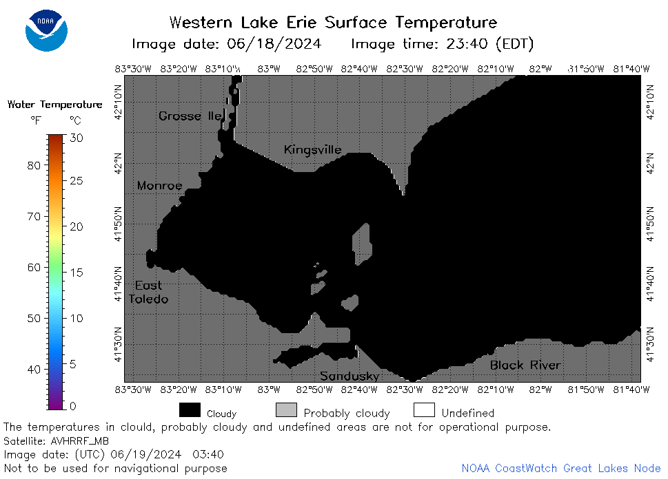 | e1_2024_06_19_0340.png | 19-Jun-2024 09:27 | 19522 | |
 | e1_2024_06_19_0600.png | 19-Jun-2024 12:24 | 20333 | |
 | e1_2024_06_19_0620.png | 19-Jun-2024 10:24 | 19488 | |
 | e1_2024_06_19_0630.png | 19-Jun-2024 09:28 | 20335 | |
 | e1_2024_06_19_0710.png | 19-Jun-2024 10:25 | 19484 | |
 | e1_2024_06_19_0720.png | 19-Jun-2024 10:26 | 20345 | |
 | e1_2024_06_19_0740.png | 19-Jun-2024 13:24 | 20825 | |
 | e1_2024_06_19_0810.png | 19-Jun-2024 16:25 | 20493 | |
 | e1_2024_06_19_0900.png | 19-Jun-2024 12:25 | 22268 | |
 | e1_2024_06_19_0920.png | 19-Jun-2024 13:25 | 19494 | |
 | e1_2024_171.png | 20-Jun-2024 09:11 | 31411 | |