
Easier access to scientific data

Brought to you by NOAA CoastWatch Great Lakes Node
|
ERDDAP
Easier access to scientific data |
|
Brought to you by NOAA CoastWatch Great Lakes Node |
| Dataset Title: | Lake Erie Western Region Surface Temperature Contour Map (2022-present)


|
| Institution: | CoastWatch Great Lakes Node (Dataset ID: LE_NRT_TC_e1) |
| Information: | Summary
| License
| Metadata
| Background | Subset
| Data Access Form
| Make a graph
| Subset
| Data Access Form
| Make a graph
|
![[ICO]](https://apps.glerl.noaa.gov/erddap/images/fileIcons/blank.gif) | Name | Last modified | Size | Description |
|---|---|---|---|---|
![[DIR]](https://apps.glerl.noaa.gov/erddap/images/fileIcons/back.gif) | Parent Directory | - | - | |
![[IMG]](https://apps.glerl.noaa.gov/erddap/images/fileIcons/image2.gif)  | e1_2024_05_03_0130.png | 03-May-2024 21:24 | 22336 | |
 | e1_2024_05_03_0220.png | 03-May-2024 21:25 | 26531 | |
 | e1_2024_05_03_0310.png | 03-May-2024 21:26 | 22663 | |
 | e1_2024_05_03_0720.png | 03-May-2024 21:27 | 26124 | |
 | e1_2024_05_03_0910.png | 03-May-2024 21:28 | 19458 | |
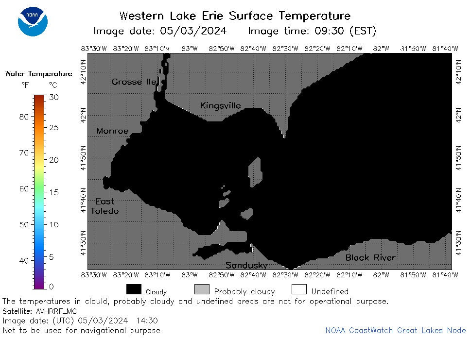 | e1_2024_05_03_1430.png | 03-May-2024 21:29 | 19480 | |
 | e1_2024_05_03_1440.png | 03-May-2024 21:30 | 20615 | |
 | e1_2024_05_03_1520.png | 03-May-2024 21:30 | 20714 | |
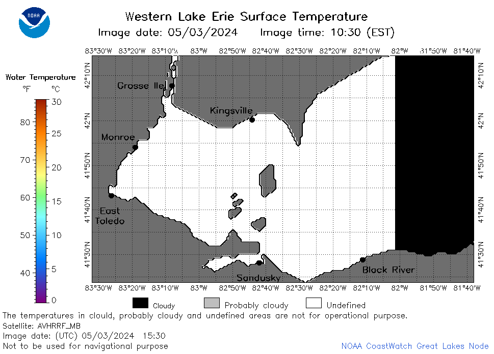 | e1_2024_05_03_1530.png | 03-May-2024 21:31 | 22269 | |
 | e1_2024_05_03_1610.png | 03-May-2024 21:32 | 19470 | |
 | e1_2024_05_03_1620.png | 03-May-2024 21:33 | 20857 | |
 | e1_2024_05_03_1700.png | 03-May-2024 21:34 | 19486 | |
 | e1_2024_05_03_1910.png | 03-May-2024 23:24 | 20651 | |
 | e1_2024_05_03_1920.png | 03-May-2024 23:25 | 19476 | |
 | e1_2024_124.png | 04-May-2024 11:11 | 33491 | |