
Easier access to scientific data

Brought to you by NOAA CoastWatch Great Lakes Node
|
ERDDAP
Easier access to scientific data |
|
Brought to you by NOAA CoastWatch Great Lakes Node |
| Dataset Title: | Lake Erie Western Region Surface Temperature Contour Map (2022-present)


|
| Institution: | CoastWatch Great Lakes Node (Dataset ID: LE_NRT_TC_e1) |
| Information: | Summary
| License
| Metadata
| Background | Subset
| Data Access Form
| Make a graph
| Subset
| Data Access Form
| Make a graph
|
![[ICO]](https://apps.glerl.noaa.gov/erddap/images/fileIcons/blank.gif) | Name | Last modified | Size | Description |
|---|---|---|---|---|
![[DIR]](https://apps.glerl.noaa.gov/erddap/images/fileIcons/back.gif) | Parent Directory | - | - | |
![[IMG]](https://apps.glerl.noaa.gov/erddap/images/fileIcons/image2.gif)  | e1_2024_02_18_0130.png | 18-Feb-2024 06:26 | 27296 | |
 | e1_2024_02_18_0220.png | 18-Feb-2024 06:28 | 41795 | |
 | e1_2024_02_18_0310.png | 18-Feb-2024 06:30 | 29883 | |
 | e1_2024_02_18_0640.png | 18-Feb-2024 10:26 | 37128 | |
 | e1_2024_02_18_0730.png | 18-Feb-2024 12:26 | 36874 | |
 | e1_2024_02_18_0820.png | 18-Feb-2024 11:26 | 31117 | |
 | e1_2024_02_18_0910.png | 18-Feb-2024 17:26 | 19480 | |
 | e1_2024_02_18_1430.png | 18-Feb-2024 17:28 | 19503 | |
 | e1_2024_02_18_1440.png | 18-Feb-2024 17:30 | 24157 | |
 | e1_2024_02_18_1530.png | 18-Feb-2024 19:26 | 29004 | |
 | e1_2024_02_18_1610.png | 18-Feb-2024 19:28 | 19475 | |
 | e1_2024_02_18_1620.png | 18-Feb-2024 19:30 | 27680 | |
 | e1_2024_02_18_1710.png | 18-Feb-2024 21:26 | 19482 | |
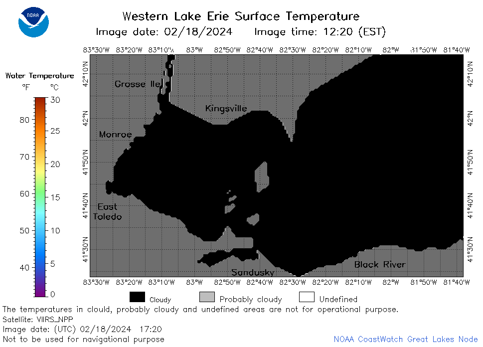 | e1_2024_02_18_1720.png | 18-Feb-2024 21:28 | 19473 | |
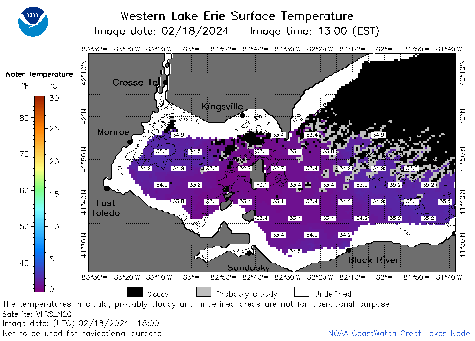 | e1_2024_02_18_1800.png | 18-Feb-2024 20:28 | 34547 | |
 | e1_2024_02_18_1810.png | 18-Feb-2024 21:30 | 19473 | |
 | e1_2024_02_18_1850.png | 18-Feb-2024 22:26 | 31641 | |
 | e1_2024_02_18_1940.png | 18-Feb-2024 22:28 | 22257 | |