
Easier access to scientific data

Brought to you by NOAA CoastWatch Great Lakes Node
|
ERDDAP
Easier access to scientific data |
|
Brought to you by NOAA CoastWatch Great Lakes Node |
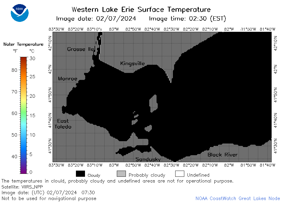
| Dataset Title: | Lake Erie Western Region Surface Temperature Contour Map (2022-present)


|
| Institution: | CoastWatch Great Lakes Node (Dataset ID: LE_NRT_TC_e1) |
| Information: | Summary
| License
| Metadata
| Background | Subset
| Data Access Form
| Make a graph
| Subset
| Data Access Form
| Make a graph
|
![[ICO]](https://apps.glerl.noaa.gov/erddap/images/fileIcons/blank.gif) | Name | Last modified | Size | Description |
|---|---|---|---|---|
![[DIR]](https://apps.glerl.noaa.gov/erddap/images/fileIcons/back.gif) | Parent Directory | - | - | |
![[IMG]](https://apps.glerl.noaa.gov/erddap/images/fileIcons/image2.gif)  | e1_2024_02_07_0110.png | 07-Feb-2024 17:26 | 38664 | |
 | e1_2024_02_07_0200.png | 07-Feb-2024 17:28 | 42542 | |
 | e1_2024_02_07_0250.png | 07-Feb-2024 17:30 | 30387 | |
 | e1_2024_02_07_0340.png | 07-Feb-2024 17:33 | 22276 | |
 | e1_2024_02_07_0600.png | 07-Feb-2024 17:35 | 20299 | |
 | e1_2024_02_07_0730.png | 07-Feb-2024 17:37 | 19462 | |
 | e1_2024_02_07_0740.png | 07-Feb-2024 17:39 | 24877 | |
 | e1_2024_02_07_0920.png | 07-Feb-2024 17:42 | 19477 | |
 | e1_2024_02_07_1410.png | 07-Feb-2024 18:26 | 19463 | |
 | e1_2024_02_07_1420.png | 07-Feb-2024 18:28 | 21986 | |
 | e1_2024_02_07_1500.png | 07-Feb-2024 18:30 | 24128 | |
 | e1_2024_02_07_1550.png | 07-Feb-2024 20:26 | 19503 | |
 | e1_2024_02_07_1600.png | 07-Feb-2024 20:28 | 29067 | |
 | e1_2024_02_07_1640.png | 07-Feb-2024 20:30 | 22259 | |
 | e1_2024_02_07_1720.png | 07-Feb-2024 20:33 | 37424 | |
 | e1_2024_02_07_1900.png | 07-Feb-2024 21:26 | 37110 | |
 | e1_2024_038.png | 08-Feb-2024 10:15 | 34770 | |