
Easier access to scientific data

Brought to you by NOAA CoastWatch Great Lakes Node
|
ERDDAP
Easier access to scientific data |
|
Brought to you by NOAA CoastWatch Great Lakes Node |
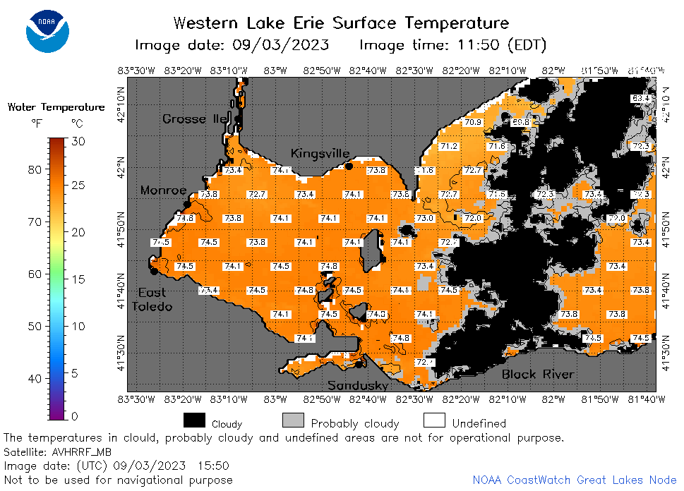
| Dataset Title: | Lake Erie Western Region Surface Temperature Contour Map (2022-present)


|
| Institution: | CoastWatch Great Lakes Node (Dataset ID: LE_NRT_TC_e1) |
| Information: | Summary
| License
| Metadata
| Background | Subset
| Data Access Form
| Make a graph
| Subset
| Data Access Form
| Make a graph
|
![[ICO]](https://apps.glerl.noaa.gov/erddap/images/fileIcons/blank.gif) | Name | Last modified | Size | Description |
|---|---|---|---|---|
![[DIR]](https://apps.glerl.noaa.gov/erddap/images/fileIcons/back.gif) | Parent Directory | - | - | |
![[IMG]](https://apps.glerl.noaa.gov/erddap/images/fileIcons/image2.gif) 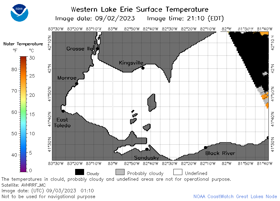 | e1_2023_09_03_0110.png | 03-Sep-2023 05:25 | 21979 | |
 | e1_2023_09_03_0150.png | 03-Sep-2023 05:27 | 23685 | |
 | e1_2023_09_03_0200.png | 03-Sep-2023 05:30 | 31314 | |
 | e1_2023_09_03_0250.png | 03-Sep-2023 05:32 | 36448 | |
 | e1_2023_09_03_0640.png | 03-Sep-2023 10:26 | 37717 | |
 | e1_2023_09_03_0730.png | 03-Sep-2023 10:28 | 41317 | |
 | e1_2023_09_03_0820.png | 03-Sep-2023 12:26 | 44525 | |
 | e1_2023_09_03_1500.png | 03-Sep-2023 19:26 | 40001 | |
 | e1_2023_09_03_1550.png | 03-Sep-2023 19:30 | 40306 | |
 | e1_2023_09_03_1710.png | 03-Sep-2023 20:29 | 41287 | |
 | e1_2023_09_03_1800.png | 03-Sep-2023 20:33 | 47211 | |
 | e1_2023_09_03_1850.png | 03-Sep-2023 21:25 | 43116 | |
 | e1_2023_09_03_1950.png | 05-Nov-2023 01:22 | 22259 | |
 | e1_2023_246.png | 04-Sep-2023 09:15 | 27775 | |