
Easier access to scientific data

Brought to you by NOAA CoastWatch Great Lakes Node
|
ERDDAP
Easier access to scientific data |
|
Brought to you by NOAA CoastWatch Great Lakes Node |
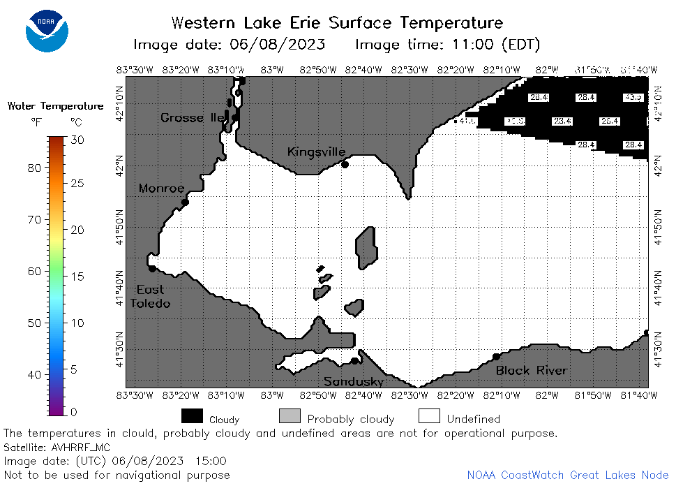
| Dataset Title: | Lake Erie Western Region Surface Temperature Contour Map (2022-present)


|
| Institution: | CoastWatch Great Lakes Node (Dataset ID: LE_NRT_TC_e1) |
| Information: | Summary
| License
| Metadata
| Background | Subset
| Data Access Form
| Make a graph
| Subset
| Data Access Form
| Make a graph
|
![[ICO]](https://apps.glerl.noaa.gov/erddap/images/fileIcons/blank.gif) | Name | Last modified | Size | Description |
|---|---|---|---|---|
![[DIR]](https://apps.glerl.noaa.gov/erddap/images/fileIcons/back.gif) | Parent Directory | - | - | |
![[IMG]](https://apps.glerl.noaa.gov/erddap/images/fileIcons/image2.gif) 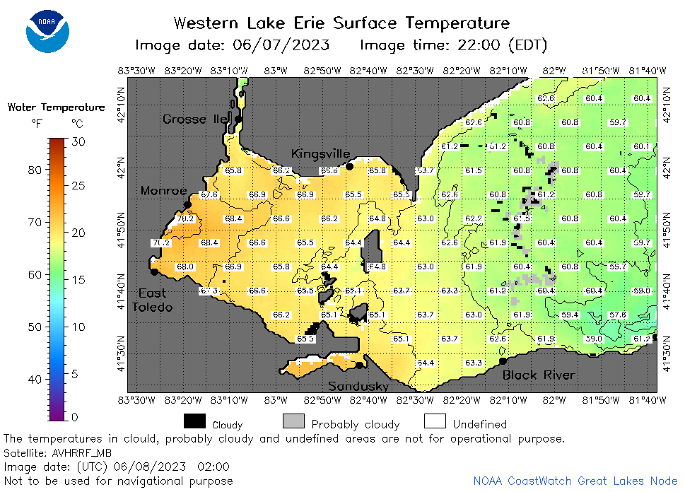 | e1_2023_06_08_0200.png | 08-Jun-2023 05:26 | 45032 | |
 | e1_2023_06_08_0250.png | 08-Jun-2023 07:26 | 40303 | |
 | e1_2023_06_08_0620.png | 08-Jun-2023 09:26 | 43356 | |
 | e1_2023_06_08_0710.png | 08-Jun-2023 11:26 | 40726 | |
 | e1_2023_06_08_0800.png | 08-Jun-2023 11:29 | 41714 | |
 | e1_2023_06_08_1500.png | 08-Jun-2023 21:28 | 21886 | |
 | e1_2023_06_08_1510.png | 08-Jun-2023 21:30 | 32152 | |
 | e1_2023_06_08_1550.png | 08-Jun-2023 21:33 | 33555 | |
 | e1_2023_06_08_1750.png | 08-Jun-2023 20:30 | 27865 | |
 | e1_2023_06_08_1840.png | 08-Jun-2023 21:41 | 27846 | |
 | e1_2023_06_08_1930.png | 08-Jun-2023 22:26 | 23317 | |
 | e1_2023_159.png | 09-Jun-2023 09:16 | 31044 | |