
Easier access to scientific data

Brought to you by NOAA CoastWatch Great Lakes Node
|
ERDDAP
Easier access to scientific data |
|
Brought to you by NOAA CoastWatch Great Lakes Node |
| Dataset Title: | Lake Erie Western Region Surface Temperature Contour Map (2022-present)


|
| Institution: | CoastWatch Great Lakes Node (Dataset ID: LE_NRT_TC_e1) |
| Information: | Summary
| License
| Metadata
| Background | Subset
| Data Access Form
| Make a graph
| Subset
| Data Access Form
| Make a graph
|
![[ICO]](https://apps.glerl.noaa.gov/erddap/images/fileIcons/blank.gif) | Name | Last modified | Size | Description |
|---|---|---|---|---|
![[DIR]](https://apps.glerl.noaa.gov/erddap/images/fileIcons/back.gif) | Parent Directory | - | - | |
![[IMG]](https://apps.glerl.noaa.gov/erddap/images/fileIcons/image2.gif)  | e1_2023_04_06_0110.png | 06-Apr-2023 22:29 | 23139 | |
 | e1_2023_04_06_0200.png | 06-Apr-2023 22:34 | 29583 | |
 | e1_2023_04_06_0250.png | 06-Apr-2023 22:36 | 25481 | |
 | e1_2023_04_06_0650.png | 06-Apr-2023 22:42 | 32826 | |
 | e1_2023_04_06_0740.png | 06-Apr-2023 22:47 | 24443 | |
 | e1_2023_04_06_0830.png | 06-Apr-2023 22:49 | 23068 | |
 | e1_2023_04_06_0840.png | 06-Apr-2023 22:51 | 21820 | |
 | e1_2023_04_06_1420.png | 06-Apr-2023 22:56 | 23122 | |
 | e1_2023_04_06_1510.png | 06-Apr-2023 22:59 | 22194 | |
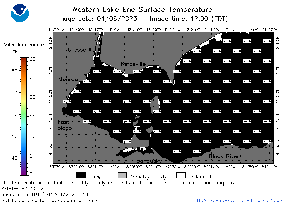 | e1_2023_04_06_1600.png | 06-Apr-2023 23:03 | 22163 | |
 | e1_2023_04_06_1730.png | 06-Apr-2023 23:07 | 22148 | |
 | e1_2023_04_06_1820.png | 06-Apr-2023 23:11 | 22844 | |
 | e1_2023_04_06_1910.png | 06-Apr-2023 23:14 | 22280 | |